Platform Updates – May 2024
Discover the latest updates to the Rethink Platform.
- Zoe Russell
Datasets
National Vegetation Classification (NVC) Habitats
Available under Open Government Licence by JNCC.
The NVC Habitats data is a comprehensive phytosociological classification that evaluates the complete range of vascular plant, bryophyte, and macro-lichen species within a specific type of vegetation.
For users, it provides a standardised framework for identifying, describing, and monitoring vegetation types.
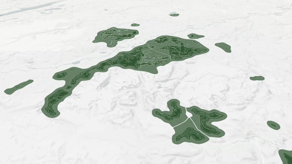
Caledonian Pinewood Inventory
Available under Open Government Licence by Scottish Natural Heritage and Ordnance Survey.
A detailed survey documenting the remaining ancient Caledonian pine forests in Scotland. It provides a comprehensive analysis of these woodlands’ locations, extents, and ecological conditions.
These datasets are crucial for their conservation, biodiversity preservation, effective management, scientific research, and informed policymaking.
Native Woodland Survey of Scotland (NWSS)
Available under Open Government Licence by Scottish Natural Heritage and Ordnance Survey.
The NWSS identified and mapped the location, extent, type, and condition of all native woodlands in Scotland.
As the first comprehensive inventory of the country’s native forests, users can establish a baseline for future monitoring and change assessment.
Phytophthora Ramorum Risk Zones GB
Available under Open Government Licence by the Forestry Commission.
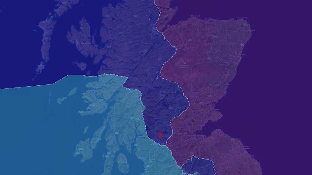
Phytophthora Ramorum Risk Zones GB dataset divides Britain into three zones based on climatic risk and infection presence.
Users are provided with a targeted framework for managing larch tree felling and replanting efforts based on infection risk, enhancing disease control and forest health.
OS HydroNode
Available under Open Government Licence by Historic Environment Scotland and Ordnance Survey.
The OS HydroNode dataset explicitly represents the start, end, and junctions of watercourses, as well as locations where changes in real-world attributes, such as the transition to tidal waters, have been recorded.
This dataset can be used for accurate water resource management, flood risk assessment, environmental protection, and infrastructure planning.
Features
Workspace overview dashboard
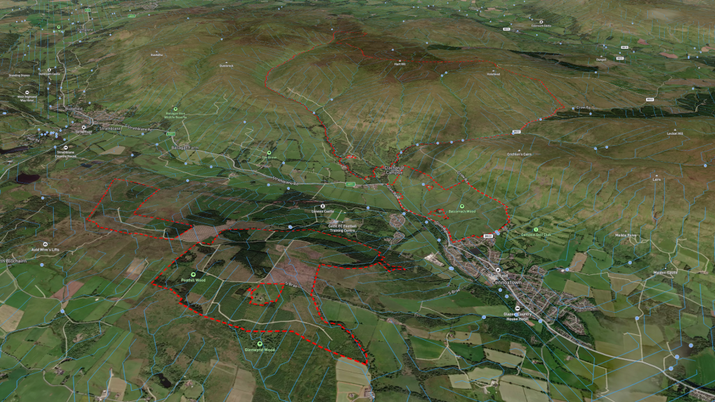
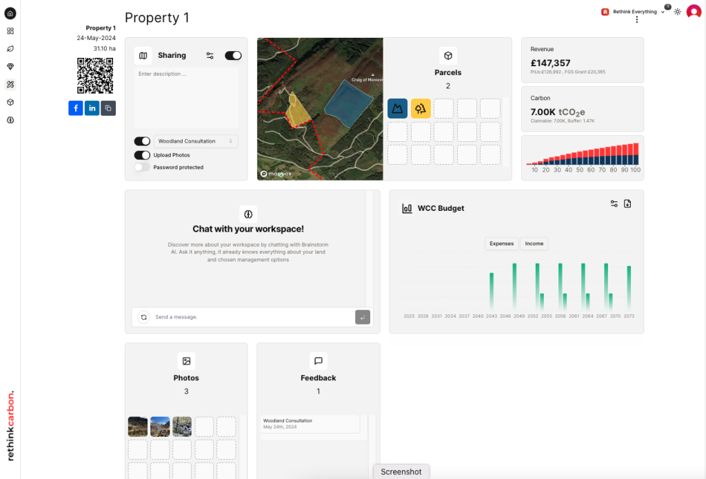
This exciting new feature gives users a complete overview of their workspaces. From this page, users can view details such as land planning parcels and an overview of financials, carbon sequestration or Woodland Carbon Code budgets.
Within the workspace dashboard we have added many new features, that include:
Community engagement and consultation
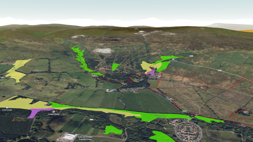
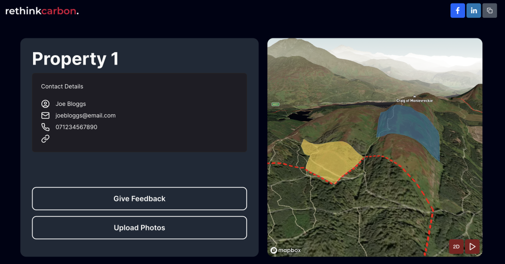
The new community engagement and consultation tools publish and share projects containing an interactive map for communities and stakeholders to leave comments, vote on plans and even upload photos. Share projects with clients via a password protected link to present future plans and gather feedback via comments.
AI Brainstorm
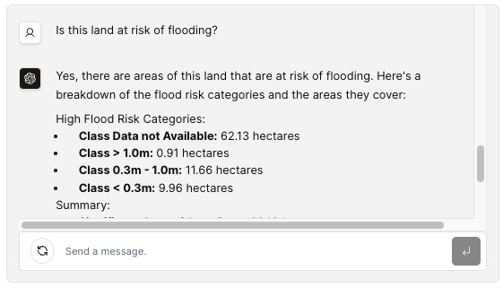
A handy, virtual land agent for users. Datasets and personalised inputs on properties and parcels are analysed in an instant for on demand replies. This bespoke tool is great for assisting report writing, summarising quantitative data and efficient analysis.
General
Increased platform performance
Increased general performance on the platform, with focus on the main dashboard, workspace overview and subsequent workspace details.
Whilst already top notch, users gain an overall improved experience including fast page loads and editing time. Stability is a key factor in building our customer trust.